


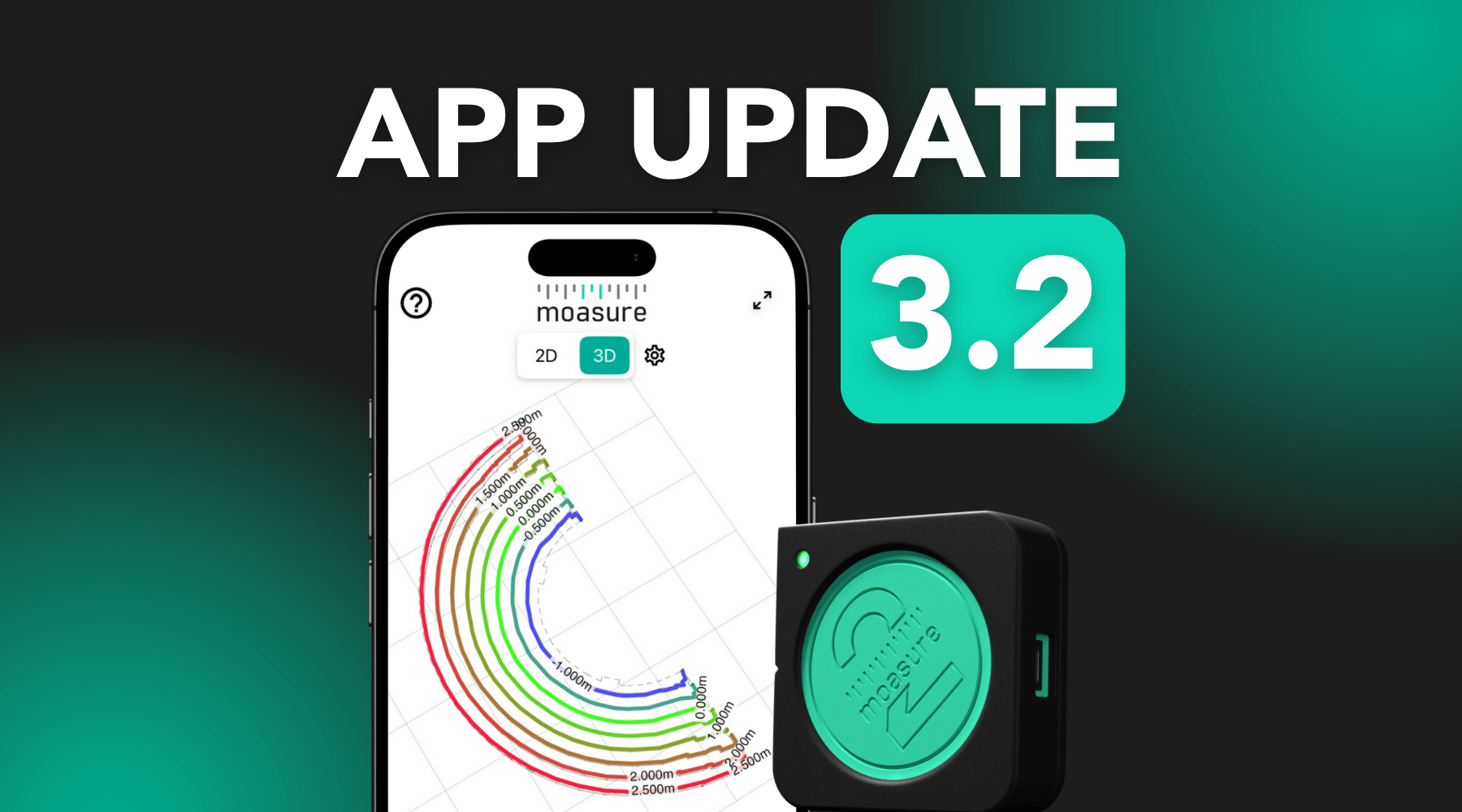
App Update 3.2: More Ways to Customise Measurements
After releasing our latest major app update – version 3.0 – earlier this year, we’re continuing to enhance the Moasure experience with a new set of features and refinements in our newest release, version 3.2!
Building upon these major productivity-boosting upgrades, app update version 3.2 offers even more refinements and opportunities to customise your measurements. Designed to make your data more personalised, streamlined, and detailed, this app update is free, available to all Moasure users, and is compatible with all Moasure devices.*
Here’s some of the newest features: Annotations, Voice Labelling, Custom Contour Intervals, Custom Colour Picker, CAD Imports for Layout, plus some added refinements to the app interface. Discover more about each feature below.
Major Updates
Annotations
Introducing an additional way to add context to your measurements, the Annotations feature allows you to add custom text directly onto your measurement canvas.
Useful for the site details that aren’t tied to a singular measurement point, annotations can now be used to mark important areas on the site. For example, if you measure a lawn but want to know where the patio is in relation to it, you can add an annotation for reference.
You can drag, rotate, and scale the text to your preference, and lock it in place. Once the text is locked into place, you can inspect and rotate the measurement and the annotation will remain readable, no matter the position.
Please note that annotations can be seen in 2D Plan and 3D View, but can only be added in 2D View. Currently, we do not support annotations in Contour and Surface Mesh views.

Voice Labelling
Building upon the mid-measurement labelling feature, first introduced in version 3.0, you now have even more ways to add labels to key site areas. With version 3.2, Voice Labelling now lets you speak directly into your device’s microphone to create instant text labels while measuring.
Simply tap the microphone icon when stationary to speak your label, and the new label will be attached to the relevant point on your measurement. As soon as you move again, the recording stops automatically – keeping your workflow uninterrupted. You can also end the process manually or quickly delete the last note if needed.
Voice Labelling is ideal for capturing site-specific details and reminders without breaking your measurement flow. Once you begin recording, Voice Labelling lets you capture notes hands-free, helping you stay efficient, organised, and focused on the job.

Custom Contour Intervals
Providing a new way to both customise and visualise your 2D and 3D contour maps, Custom Contour Intervals allows you to define set intervals for contour lines. Use these new options to customize both major (labelled), and minor (unlabelled) contour lines.
Whether you want to review subtle nuances of the site’s terrain in more detail, or you’d prefer a clearer view of larger elevation changes, this feature offers you a new level of flexibility.

Minor Updates
Custom Colour Picker
We’ve upgraded our colour palette for different measurement layers, with the new Custom Colour Picker. Ideal for measurements where key zones need to be defined clearly, assigning colours to each area helps you to visualise these spaces.
Now, you can customise your diagrams even more, by selecting a colour manually from the drag-based picker, or by entering a hex code – perfect for aligning your measurements with your brand. Plus, we’ve kept our default colour presets too.

CAD Imports for Layout
For those using Layout to quickly mark and locate specific points on site, we’re introducing a new way for you to import X, Y coordinates. CAD file imports (DXF/DWG) will now be supported to enable layouts from CAD drawings, in addition to just manual or CSV input – offering a faster way to set out custom shapes.
This import option allows the first layer of a CAD file to be imported into Layout, with the ability to reorder coordinates easily by dragging them manually, streamlining the order of your points.
Plus, an optional ‘Optimise Route’ feature saves time and errors by arranging X,Y coordinates in the most logical order and shortest distance for you.

Refreshed Cross-Section View
The Cross Section tool is a key in-app feature for quickly determining grade changes, rise, run, and angles. With this update, you can now view all of this data on a single screen, without switching between tabs.
This improvement makes it easier to access the information you need with fewer steps, helping you make faster decisions in the field.

Interface Improvements
We’ve made a number of improvements to the way we organised the Moasure app, including the Export and Settings screens.
With enhanced organisation between certain app functionalities, we’ve made it easier for you to navigate by grouping related settings together, plus a refreshed design. Not only this, but we’ve also updated the metadata interface – where you see your perimeter, area, surface area, and volume data – to be even clearer.

These updates are designed to make measuring, documenting, and presenting even more efficient and flexible, and are based directly on feedback from professionals across multiple industries.
Make sure to keep your Moasure app updated via the App Store and Google Play Store, and for more information on how to use these new features, head over to our User Guide.
Discover more about what you can do with the Moasure 2 Series here.
*CAD Imports for Layout is only compatible with Moasure 2 PRO.